2.31 · Proof of concept · Drones
Survey and Evidence Simulated What the drones found, each in the medium that proves it.
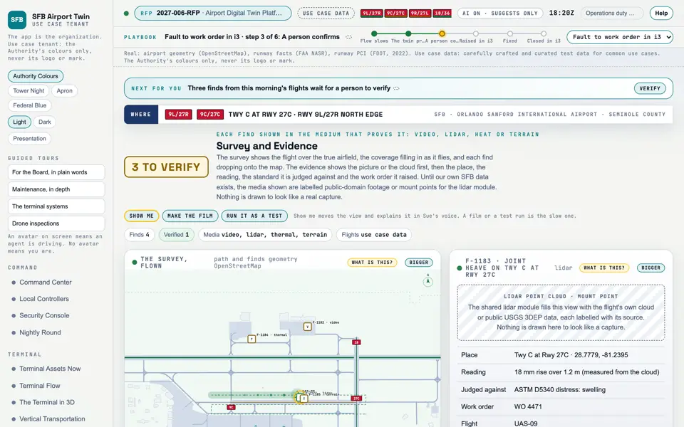
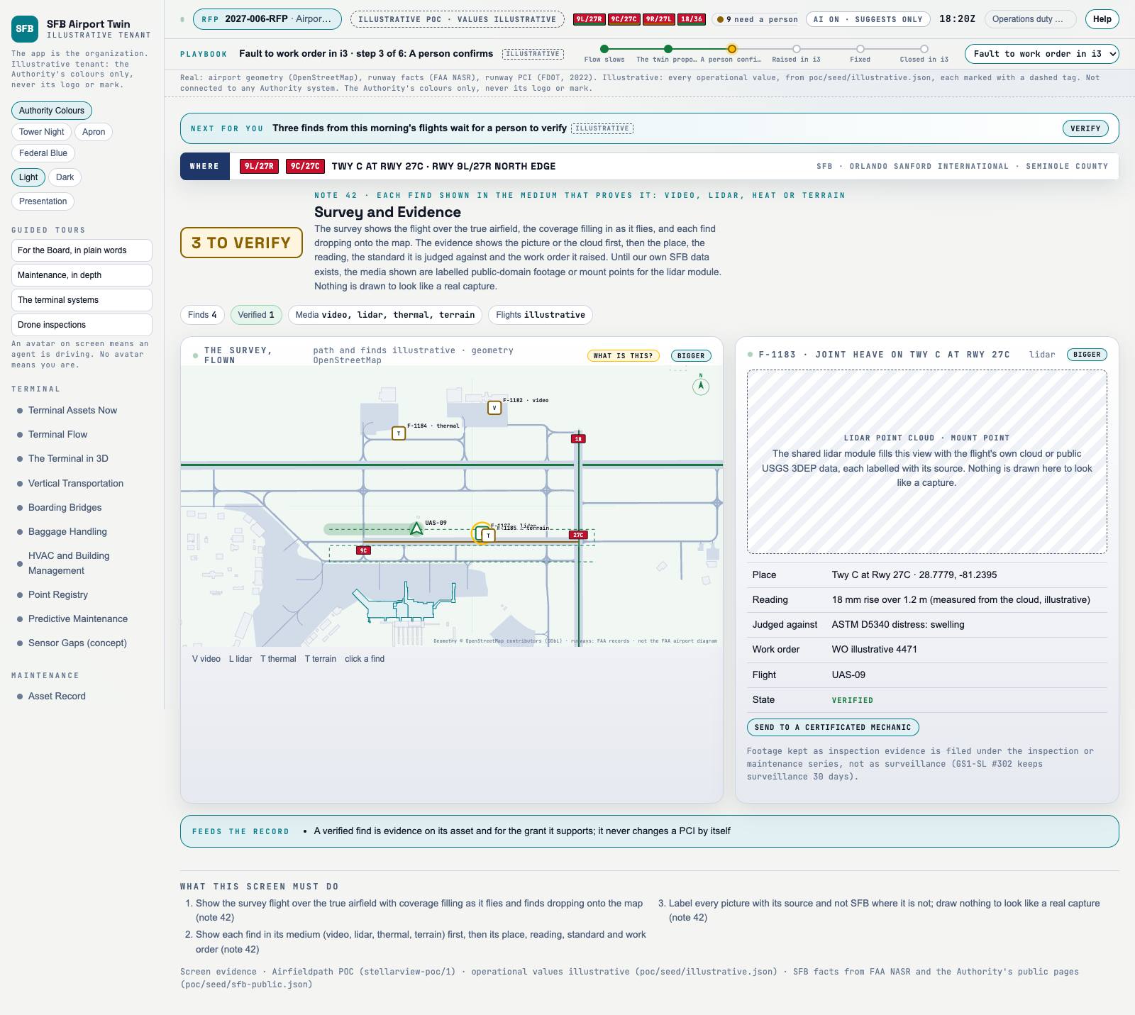
Picture: Headless capture of poc/index.html?v=evidence&m=light, as the proof of concept renders it, 1400 by 875 at 2x scale.
Screen · Proof of concept · Drones
What the drones found, each in the medium that proves it.
Sources Interchange Twin Screens Plan
Kind Screen
Status not linked
Airport layer Screens: the POC story and the spines
Airport area not linked
System not linked
Sensor type not linked Open the screen · Open the detail
Level 2 of 3 This component, complete on its own. Its files, sources and tests are the detail below. Open the detail
Open this screen in the proof of concept
Capture of the screen: Survey and Evidence. Dark and light modes. Narration line Each find drops onto the map where it was seen.
Source: poc/bearings/evidence.json, beat "Finds"
Group Drones
Status as the app labels it Simulated
Basis The drone flights are simulated. The screen runs. Data: carefully crafted and curated test data for common use cases. What the screen must do (3) Show the survey flight over the true airfield with coverage filling as it flies and finds dropping onto the map Show each find in its medium (video, lidar, thermal, terrain) first, then its place, reading, standard and work order Label every picture with its source and not SFB where it is not; draw nothing to look like a real capture Previous Corridors and Protected AreasNext Close Inspection