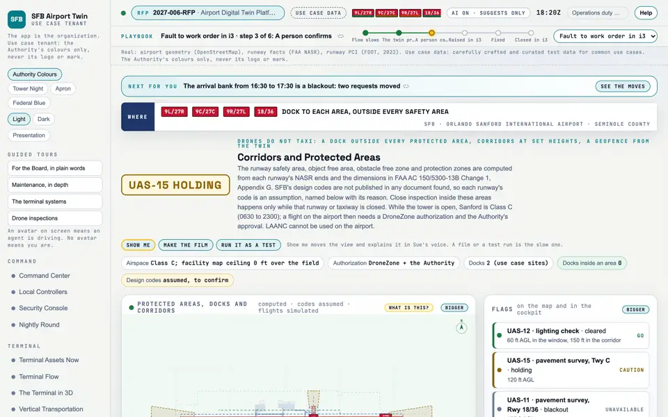
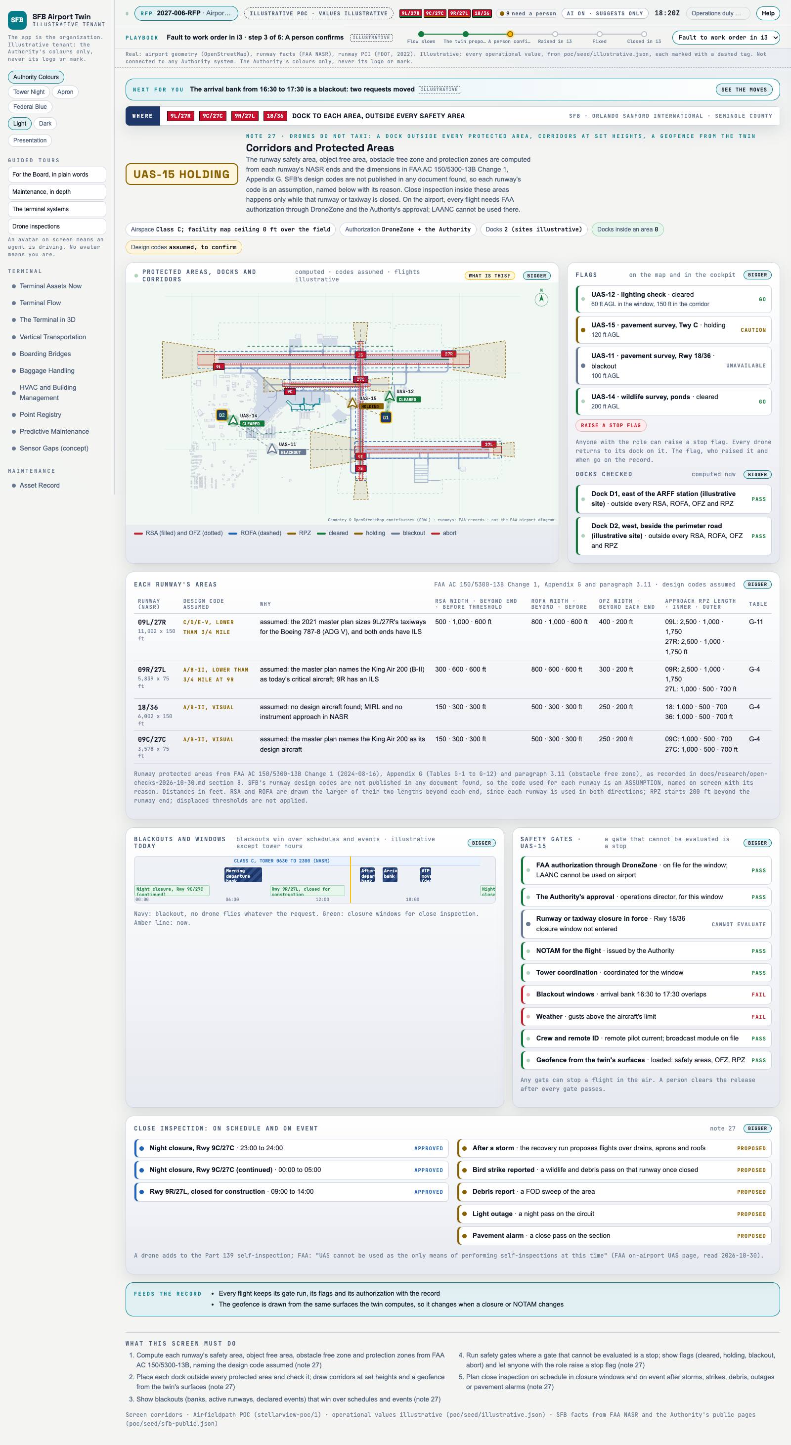
Capture of the screen: Corridors and Protected Areas. Dark and light modes.
Narration line
A blackout wins over any request, and a gate that cannot be evaluated is a stop.
Source: poc/bearings/corridors.json, beat "Blackouts and gates"
Group
Drones
Status as the app labels it
Simulated
Basis
The drone flights are simulated. The screen runs. Data: carefully crafted and curated test data for common use cases.
What the screen must do (5)
Compute each runway's safety area, object free area, obstacle free zone and protection zones from FAA AC 150/5300-13B, naming the design code assumed
Place each dock outside every protected area and check it; draw corridors at set heights and a geofence from the twin's surfaces
Show blackouts (banks, active runways, declared events) that win over schedules and events
Run safety gates where a gate that cannot be evaluated is a stop; show flags (cleared, holding, blackout, abort) and let anyone with the role raise a stop flag
Plan close inspection on schedule in closure windows and on event after storms, strikes, debris, outages or pavement alarms