2.38 · Proof of concept · Operate
Wildlife and FOD Real
Birds and debris on the airfield, and the reports the FAA asks for.
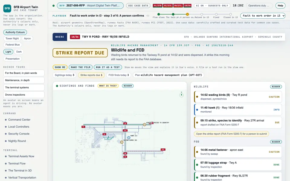
Picture: Headless capture of poc/index.html?v=wildlife&m=light, as the proof of concept renders it, 1400 by 875 at 2x scale.
Screen · Proof of concept · Operate
Birds and debris on the airfield, and the reports the FAA asks for.
- Sources
- Interchange
- Twin
- Screens
- Plan
- Kind
- Screen
- Status
- not linked
- Airport layer
- Screens: the POC story and the spines
- Airport area
- not linked
- System
- not linked
- Sensor type
- not linked
Open the screen · Open the detail
Level 2 of 3 This component, complete on its own. Its files, sources and tests are the detail below. Open the detail
Open this screen in the proof of concept
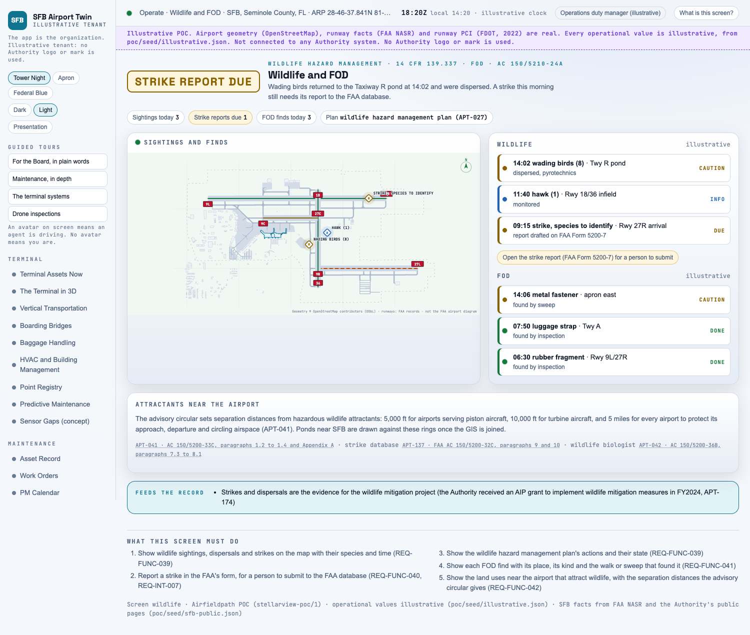 Capture of the screen: Wildlife and FOD. Dark and light modes.
Narration line
It shows wildlife sightings, dispersals and strikes on the map with their species and time.
Source: poc/bearings/wildlife.json, beat "What it shows"
- Group
- Operate
- Status as the app labels it
- Real
- Basis
- The screen runs. Data: carefully crafted and curated test data for common use cases.
What the screen must do (5)
- Show wildlife sightings, dispersals and strikes on the map with their species and time (REQ-FUNC-039)
- Report a strike in the FAA's form, for a person to submit to the FAA database (REQ-FUNC-040, REQ-INT-007)
- Show the wildlife hazard management plan's actions and their state (REQ-FUNC-039)
- Show each FOD find with its place, its kind and the walk or sweep that found it (REQ-FUNC-041)
- Show the land uses near the airport that attract wildlife, with the separation distances the advisory circular gives (REQ-FUNC-042)