2.44 · Proof of concept · Assets
Flythrough and Ground Access Real A flight over the airport, and the roads and rail that reach it.
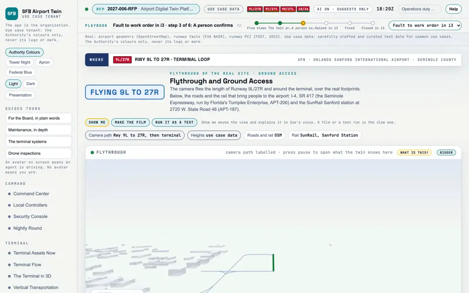
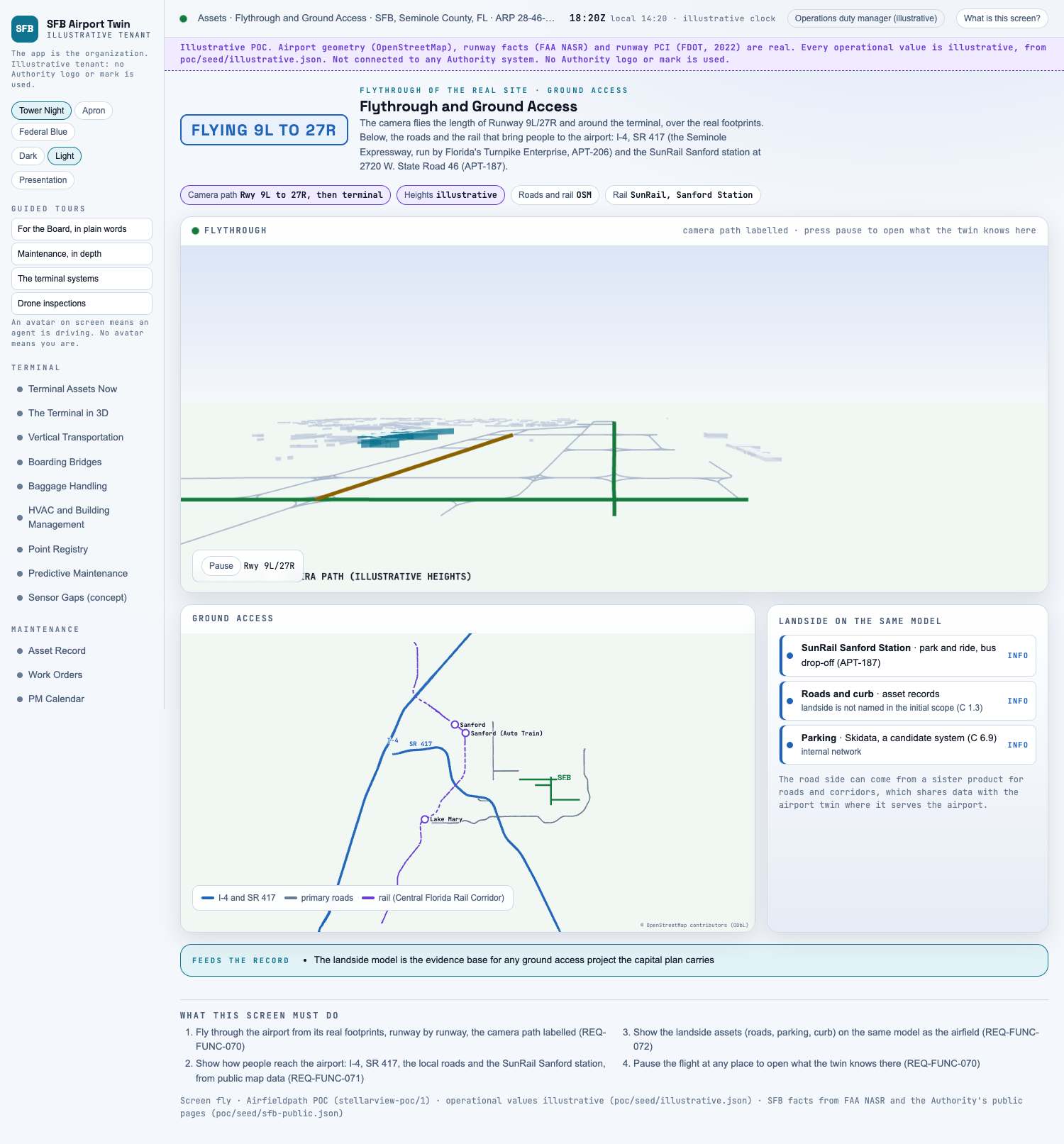
Picture: Headless capture of poc/index.html?v=fly&m=light, as the proof of concept renders it, 1400 by 875 at 2x scale.
Screen · Proof of concept · Assets
A flight over the airport, and the roads and rail that reach it.
Sources Interchange Twin Screens Plan
Kind Screen
Status not linked
Airport layer Screens: the POC story and the spines
Airport area not linked
System not linked
Sensor type not linked Open the screen · Open the detail
Level 2 of 3 This component, complete on its own. Its files, sources and tests are the detail below. Open the detail
Open this screen in the proof of concept
Capture of the screen: Flythrough and Ground Access. Dark and light modes. Narration line It lets you fly through the airport from its real footprints, runway by runway, the camera path labelled.
Source: poc/bearings/fly.json, beat "What it shows"
Group Assets
Status as the app labels it Real
Basis Drawn from OpenStreetMap and FAA NASR (poc/build/sfb-osm.json). What the screen must do (4) Fly through the airport from its real footprints, runway by runway, the camera path labelled (REQ-FUNC-070) Show how people reach the airport: I-4, SR 417, the local roads and the SunRail Sanford station, from public map data (REQ-FUNC-071) Show the landside assets (roads, parking, curb) on the same model as the airfield (REQ-FUNC-072) Pause the flight at any place to open what the twin knows there (REQ-FUNC-070) Previous The Airfield in 3D, from LidarNext Spatial Enablement