How a drone inspection is planned from an asset and held until it is safe to fly.
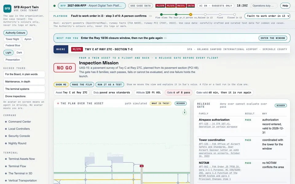
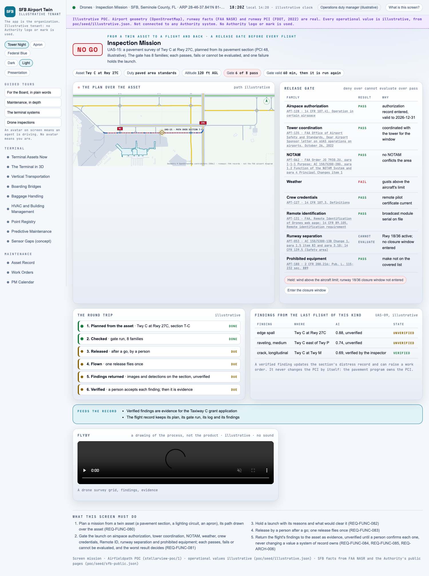
Picture: Headless capture of poc/index.html?v=mission&m=light, as the proof of concept renders it, 1400 by 875 at 2x scale. Clip: Excerpt of poc/flybys/drone-grid.mp4, 2.0 to 6.0 seconds. A drawing of the process: A drone survey grid, findings, evidence. No sound.
Capture of the screen: Inspection Mission. Dark and light modes.
Narration line
It lets you plan a mission from a twin asset (a pavement section, a lighting circuit, an apron), its path drawn over the asset.
Source: poc/bearings/mission.json, beat "What it shows"
Flyby: A drone survey grid, findings, evidence. A drawing of the process, not the product. No sound.
Group
Drones
Status as the app labels it
Simulated
Basis
The drone flights are simulated. The screen runs. Data: carefully crafted and curated test data for common use cases.
What the screen must do (5)
Plan a mission from a twin asset (a pavement section, a lighting circuit, an apron), its path drawn over the asset (REQ-FUNC-080)
Gate the launch on airspace authorization, tower coordination, NOTAM, weather, crew credentials, Remote ID, runway separation and prohibited equipment; each passes, fails or cannot be evaluated, and the worst result decides (REQ-FUNC-081)
Hold a launch with its reasons and what would clear it (REQ-FUNC-082)
Release by a person after a go; one release flies once (REQ-FUNC-083)
Return the flight's findings to the asset as evidence, unverified until a person confirms each one, never changing a value a system of record owns (REQ-FUNC-084, REQ-FUNC-085, REQ-ARCH-006)
Requirements matrix rows that name this screen (1)