Drones that could help inspect the airfield, and the airspace rules they must meet. Not in the RFP's scope today.
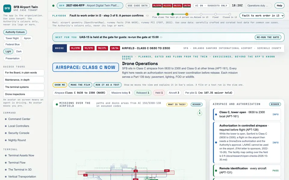
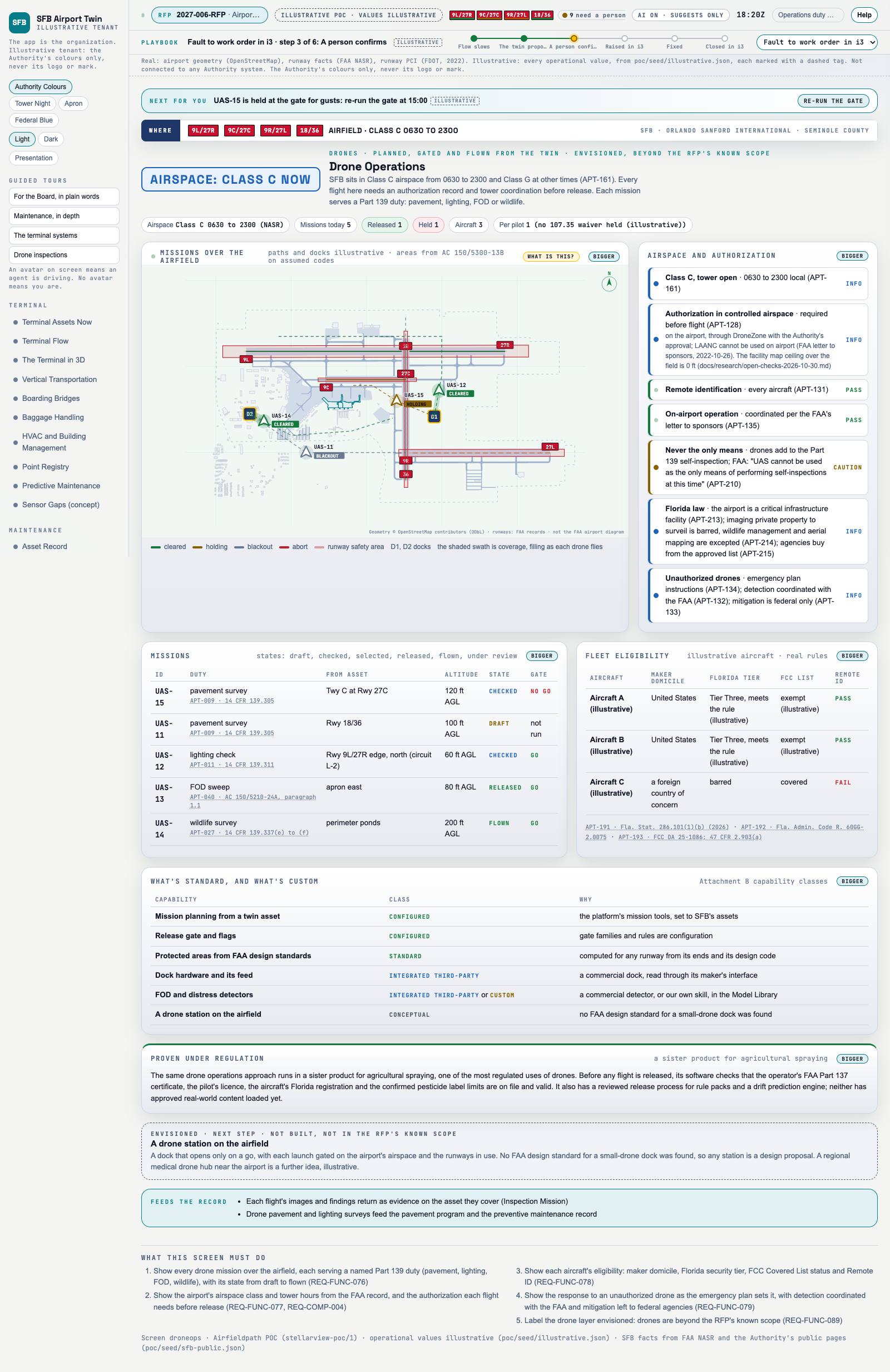
Picture: Headless capture of poc/index.html?v=droneops&m=light, as the proof of concept renders it, 1400 by 875 at 2x scale. Clip: Capture of poc/index.html?v=droneops&m=light, 4 seconds of the screen as it runs, 10 frames a second. No sound.
Capture of the screen: Drone Operations. Dark and light modes.
Narration line
It shows every drone mission over the airfield, each serving a named Part 139 duty (pavement, lighting, FOD, wildlife), with its state from draft to flown.
Source: poc/bearings/droneops.json, beat "What it shows"
Group
Drones
Status as the app labels it
Simulated
Basis
The drone flights are simulated. The screen runs. Data: carefully crafted and curated test data for common use cases.
What the screen must do (5)
Show every drone mission over the airfield, each serving a named Part 139 duty (pavement, lighting, FOD, wildlife), with its state from draft to flown (REQ-FUNC-076)
Show the airport's airspace class and tower hours from the FAA record, and the authorization each flight needs before release (REQ-FUNC-077, REQ-COMP-004)
Show each aircraft's eligibility: maker domicile, Florida security tier, FCC Covered List status and Remote ID (REQ-FUNC-078)
Show the response to an unauthorized drone as the emergency plan sets it, with detection coordinated with the FAA and mitigation left to federal agencies (REQ-FUNC-079)
Label the drone layer envisioned: drones are beyond the RFP's known scope (REQ-FUNC-089)
Requirements matrix rows that name this screen (3)