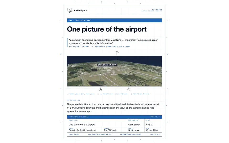
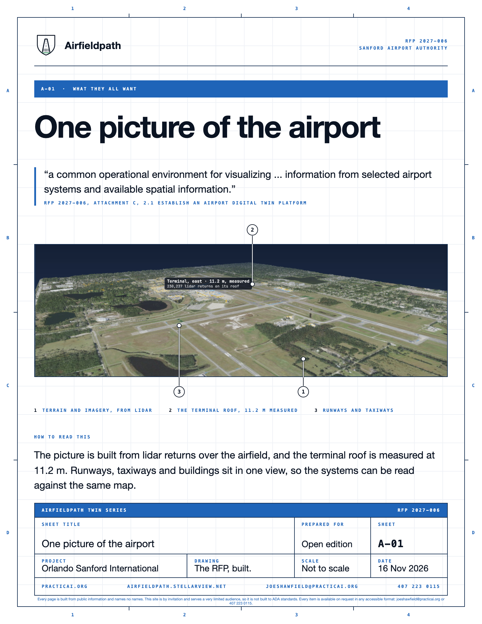
The picture is built from lidar returns over the airfield, and the terminal roof is measured at 11.2 m. Runways, taxiways and buildings sit in one view, so the systems can be read against the same map.
Picture: Preview image of sheet A-01, the PNG the sheet build writes beside the PDF, centred on a white frame.
The picture is built from lidar returns over the airfield, and the terminal roof is measured at 11.2 m. Runways, taxiways and buildings sit in one view, so the systems can be read against the same...
Level 2 of 3 This component, complete on its own. Its files, sources and tests are the detail below. Open the detail
Sheet A-01. Preview of the PDF.
a common operational environment for visualizing ... information from selected airport systems and available spatial information
RFP 2027-006, Attachment C, 2.1 Establish an Airport Digital Twin Platform
The picture is built from lidar returns over the airfield, and the terminal roof is measured at 11.2 m. Runways, taxiways and buildings sit in one view, so the systems can be read against the same map.