2.7 · Proof of concept · Terminal
The Terminal in 3D Real
The terminal as a model you can turn, with its lifts, bridges, baggage and air handling placed on it.
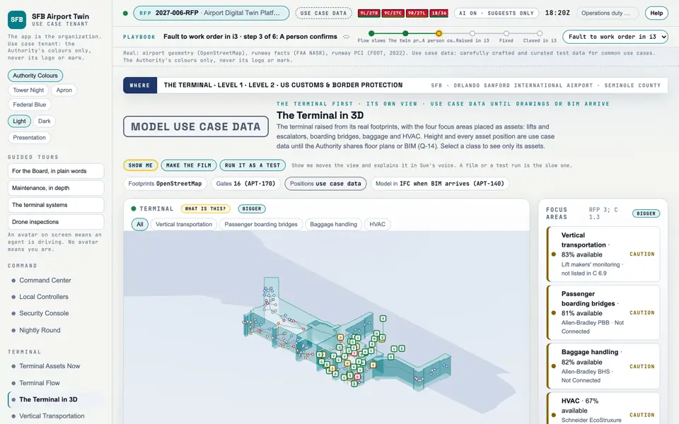
Picture: Headless capture of poc/index.html?v=terminal3d&m=light, as the proof of concept renders it, 1400 by 875 at 2x scale.
Screen · Proof of concept · Terminal
The terminal as a model you can turn, with its lifts, bridges, baggage and air handling placed on it.
- Sources
- Interchange
- Twin
- Screens
- Plan
- Kind
- Screen
- Status
- partly met
- Airport layer
- Screens: the POC story and the spines
- Airport area
- not linked
- System
- not linked
- Sensor type
- not linked
Open the screen · Open the detail
Level 2 of 3 This component, complete on its own. Its files, sources and tests are the detail below. Open the detail
Open this screen in the proof of concept
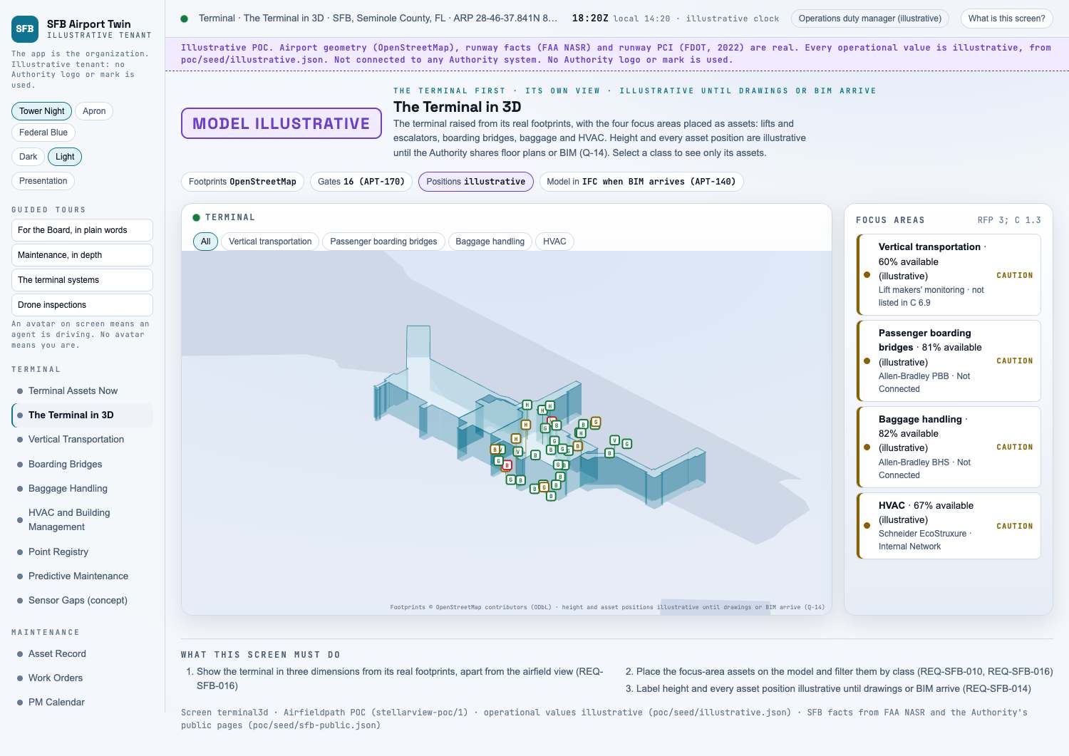 Capture of the screen: The Terminal in 3D. Dark and light modes.
Narration line
It shows the terminal in three dimensions from its real footprints, apart from the airfield view.
Source: poc/bearings/terminal3d.json, beat "What it shows"
- Group
- Terminal
- Status as the app labels it
- Real
- Basis
- Terminal drawn by us from the public airport map (flysfb.com/maps, read 2026-10-30).
What the screen must do (3)
- Show the terminal in three dimensions from its real footprints, apart from the airfield view (REQ-SFB-016)
- Place the focus-area assets on the model and filter them by class (REQ-SFB-010, REQ-SFB-016)
- Label height and every asset position illustrative until drawings or BIM arrive (REQ-SFB-014)
Requirements matrix rows that name this screen (6)
| Row | RFP section | Requirement | Status |
|---|
| M-003 | RFP 1.1 | Enhanced visualization, analytics, dashboards, workflows and decision support | partly met |
| M-025 | RFP 3, spatial | Incorporate GIS, CAD, BIM, LiDAR, imagery, floor plans, drawings, asset locations | partly met |
| M-061 | B ii | Spatial approach for GIS, CAD, BIM, LiDAR, imagery, floor plans, drawings, asset locations, O&M | partly met |
| M-062 | B ii | Capabilities for visualization, dashboards, workflows, reports, notifications, AI, security, administration, scalability | partly met |
| M-087 | C 2.1 | Establish the platform: a common environment with spatial information | partly met |
| M-114 | C 5.1 | Enterprise asset visualization, spatial asset management, dashboards, roles, workflows, analytics, reports, notifications, integration, expansion | partly met |
Requirement identifiers (3)
REQ-SFB-010, REQ-SFB-014, REQ-SFB-016