AirfieldpathOrlando Sanford International

2.42 · Proof of concept · Assets

The Airport in 3D Real

The whole airport as a model you can turn.

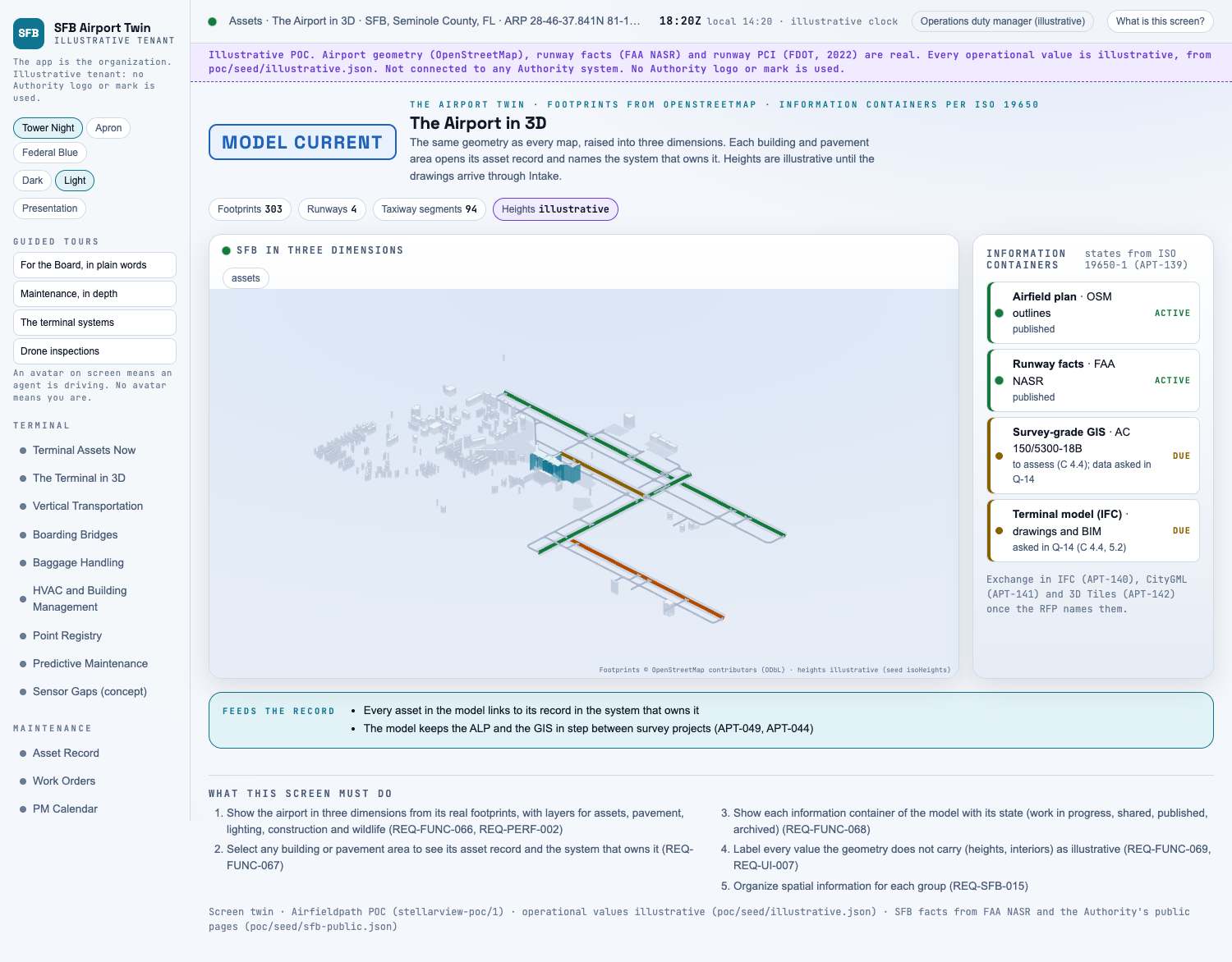
Picture: Headless capture of poc/index.html?v=twin&m=light, as the proof of concept renders it, 1400 by 875 at 2x scale.

Screen · Proof of concept · Assets

The Airport in 3D

The whole airport as a model you can turn.

  1. Sources
  2. Interchange
  3. Twin
  4. Screens
  5. Plan
Kind
Screen
Status
partly met
Airport layer
Screens: the POC story and the spines
Airport area
not linked
System
not linked
Sensor type
not linked
RFP rowsM-025M-087
SheetA-10

Open the screen · Open the detail

Level 2 of 3 This component, complete on its own. Its files, sources and tests are the detail below. Open the detail

Open this screen in the proof of concept

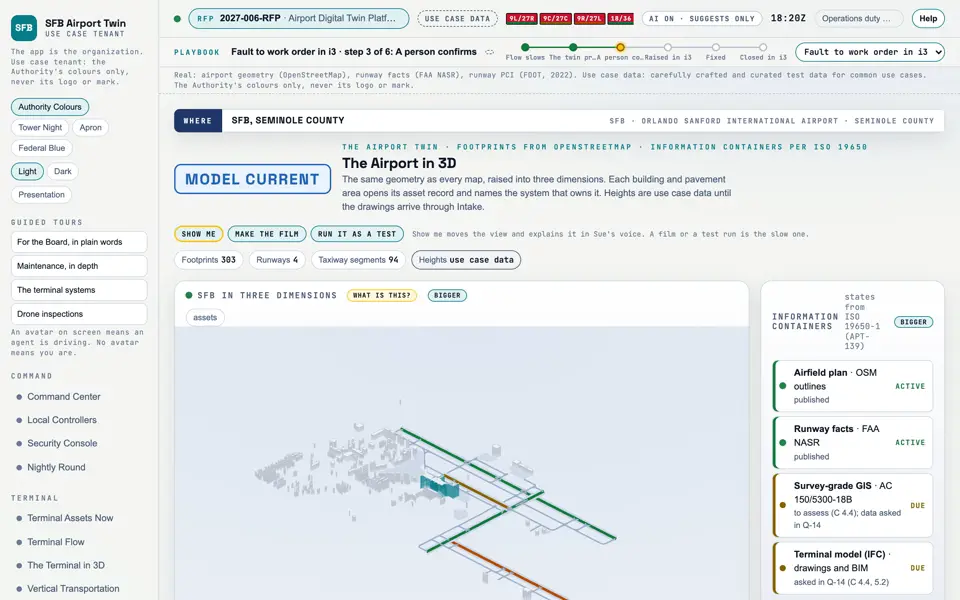
The Airport in 3D, a capture of the screen
Capture of the screen: The Airport in 3D. Dark and light modes.

Narration line

It shows the airport in three dimensions from its real footprints, with layers for assets, pavement, lighting, construction and wildlife.

Source: poc/bearings/twin.json, beat "What it shows"

Group
Assets
Status as the app labels it
Real
Basis
Drawn from OpenStreetMap and FAA NASR (poc/build/sfb-osm.json).
What the screen must do (5)
  • Show the airport in three dimensions from its real footprints, with layers for assets, pavement, lighting, construction and wildlife (REQ-FUNC-066, REQ-PERF-002)
  • Select any building or pavement area to see its asset record and the system that owns it (REQ-FUNC-067)
  • Show each information container of the model with its state (work in progress, shared, published, archived) (REQ-FUNC-068)
  • Label every value the geometry does not carry (heights, interiors) as illustrative (REQ-FUNC-069, REQ-UI-007)
  • Organize spatial information for each group (REQ-SFB-015)
Requirements matrix rows that name this screen (2)
RowRFP sectionRequirementStatus
M-025RFP 3, spatialIncorporate GIS, CAD, BIM, LiDAR, imagery, floor plans, drawings, asset locationspartly met
M-087C 2.1Establish the platform: a common environment with spatial informationpartly met
Requirement identifiers (1)

REQ-SFB-015