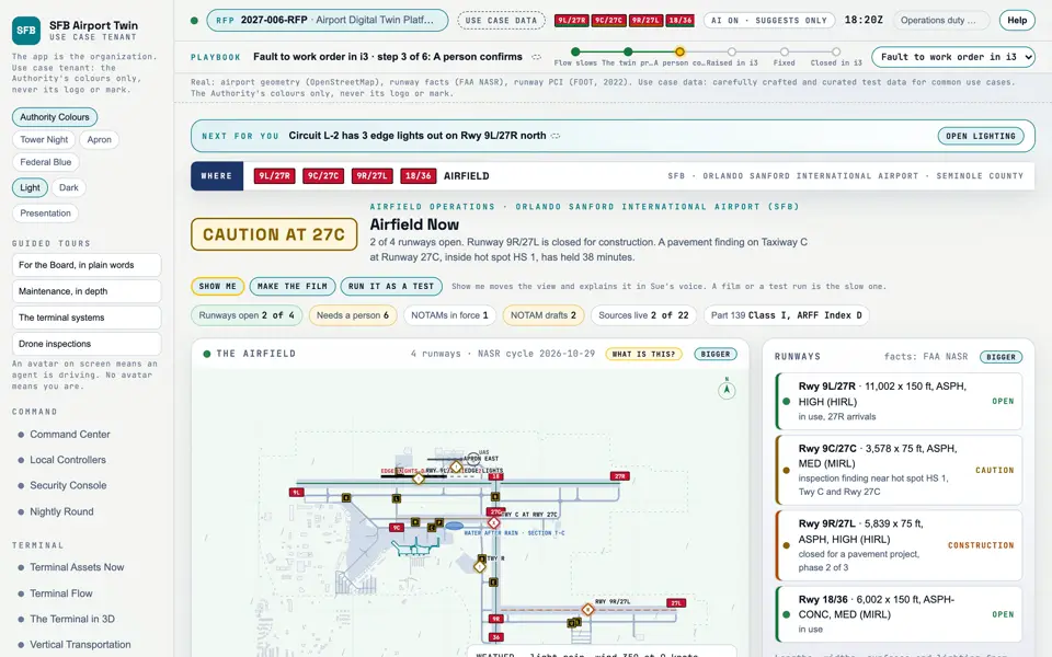
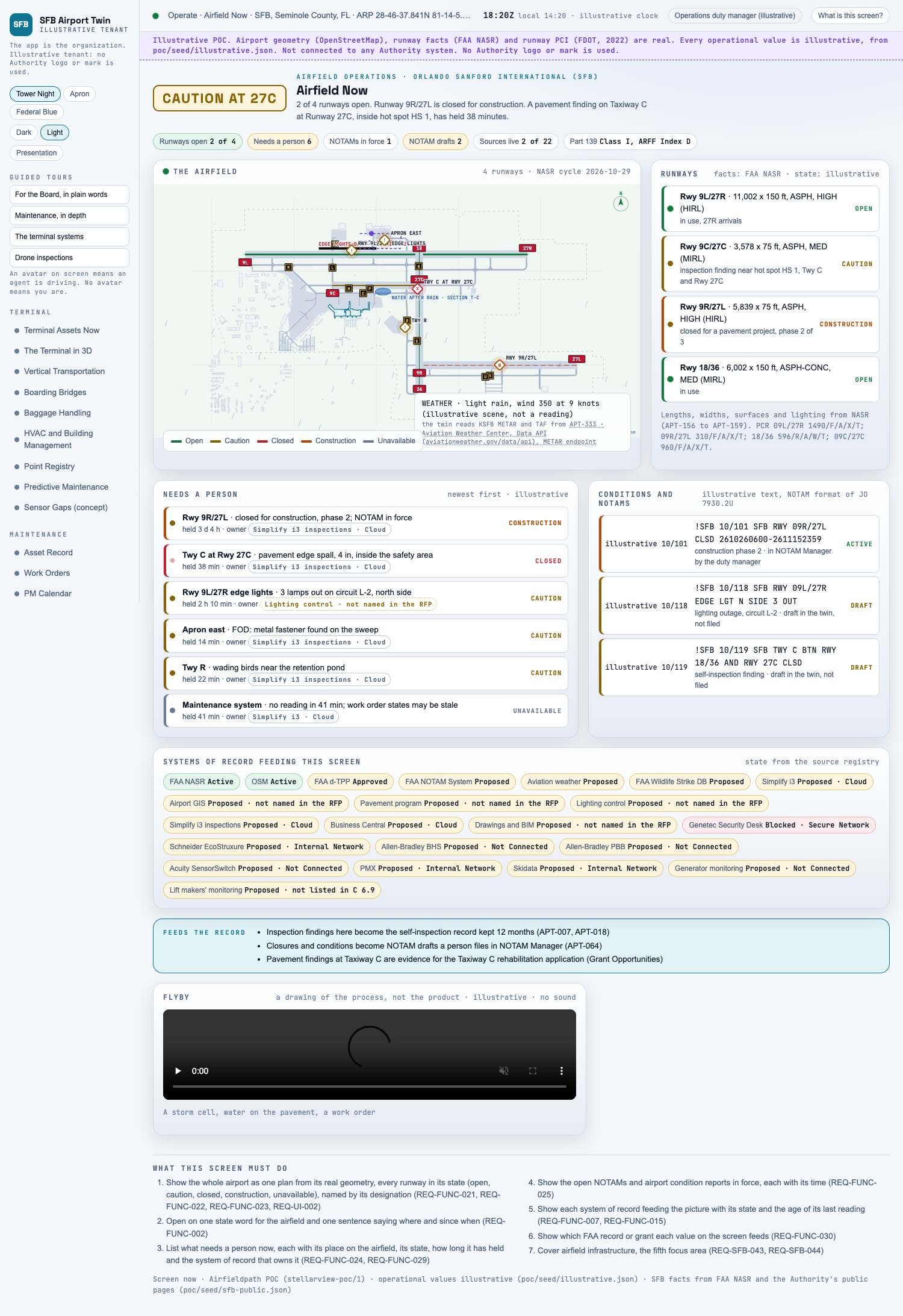
The state of the runways and taxiways right now, and what needs a person.
Picture: Headless capture of poc/index.html?v=now&m=light, as the proof of concept renders it, 1400 by 875 at 2x scale. Clip: Excerpt of poc/flybys/pooling.mp4, 2.0 to 6.0 seconds. A drawing of the process: A storm cell, water on the pavement, a work order. No sound.
Capture of the screen: Airfield Now. Dark and light modes.
Narration line
It shows the whole airport as one plan from its real geometry, every runway in its state (open, caution, closed, construction, unavailable), named by its designation.
Source: poc/bearings/now.json, beat "What it shows"
Flyby: A storm cell, water on the pavement, a work order. A drawing of the process, not the product. No sound.
Group
Operate
Status as the app labels it
Real
Basis
The screen runs. Data: carefully crafted and curated test data for common use cases.
What the screen must do (7)
Show the whole airport as one plan from its real geometry, every runway in its state (open, caution, closed, construction, unavailable), named by its designation (REQ-FUNC-021, REQ-FUNC-022, REQ-FUNC-023, REQ-UI-002)
Open on one state word for the airfield and one sentence saying where and since when (REQ-FUNC-002)
List what needs a person now, each with its place on the airfield, its state, how long it has held and the system of record that owns it (REQ-FUNC-024, REQ-FUNC-029)
Show the open NOTAMs and airport condition reports in force, each with its time (REQ-FUNC-025)
Show each system of record feeding the picture with its state and the age of its last reading (REQ-FUNC-007, REQ-FUNC-015)
Show which FAA record or grant each value on the screen feeds (REQ-FUNC-030)
Cover airfield infrastructure, the fifth focus area (REQ-SFB-043, REQ-SFB-044)
Requirements matrix rows that name this screen (3)